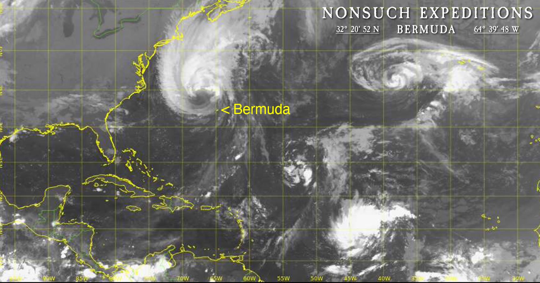
Update Sept 15th @ 5:30 am: Hurricane Lee passed 140 miles to the west of Bermuda during the night, however the windfield was so wide that we still were impacted by periods of hurricane-force winds. We have also been subject to days of 20+ft waves from the South that continue to impact Nonsuch and the smaller Cahow nesting islands, stay tuned for a report once it is safe to venture out on the water. There will undoubtedly be the need for emergency repairs to the burrows prior to the Cahows returning in mid-October / November for their fall courtship period.
Sept 12th: For the third time in just over two weeks, Bermuda is due to feel the effects of a Hurricane or Tropical Storm, so here we go again.
After hurricane "Franklin" passed about 130 miles to the northwest as a 90-knot (105mph) storm on the 30th August, giving winds on the island of 50-60 knots, then Post-Tropical Cyclone "Idalia" after hitting Florida and the Southeast United States, curved back out into the Atlantic and eventually on the 2nd September passed only 36 miles south of Bermuda as a 50-knot storm again producing winds of 50 to 60 knots.
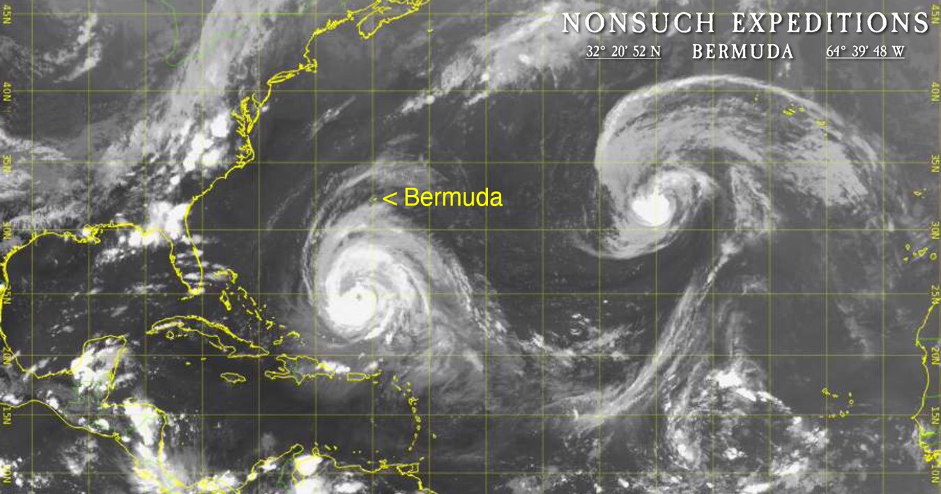
Here we are again on September 12th, watching the approach of a large, strong Category 3 hurricane "Lee" with sustained 115 mph winds and a much larger wind field than the previous storms. At present about 450 miles south of Bermuda, it is still moving west-northwest, which should take it about 150 miles west of Bermuda on late Thursday night and Friday morning.
Large, growing ocean swell has already been pounding the south coastline for two days, predicted to increase to 16' to 28' by late Thursday (watch the above LiveStream from Nonsuch Cahow Colony A). Sounds like I may have some nest repair work to tackle on the smaller Cahow nesting islets before the return of the Cahow population from the open ocean in mid to late October.
The photograph is a capture from 8pm local time today showing the hurricane and its central eye looming into view at the bottom, while Bermuda is the tiny 21-mile-long yellow dot on the upper fringe of the storm. We already have the high cirrus "exhaust" overcast of the storm overhead, which gave us a lurid red sunrise this morning ("red sky at night, sailors delight; red sky at morning, sailors take warning" comes to mind) and a distinct halo around the sun for much of the day. Hopefully, the forecasters have it right and the hurricane will go further west before it makes its anticipated turn to the north.
Fingers crossed!


